Taxi Stands Near You — Hong Kong Taxi Stand Map
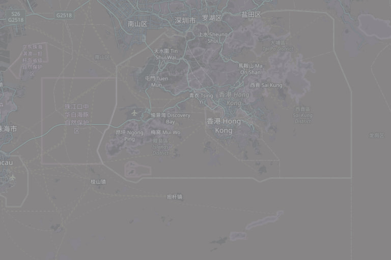
In the rain or at peak hour, hailing from the kerb rarely works and the queue at the nearest stand is faster. Tap once and this map lists the taxi stands around you nearest first, each with walking distance and district — 518 across Hong Kong, from Transport Department data.
Finding the Nearest Stand
Tap "use my location" and the map re-centres on you, listing stands nearest first with walking distance in metres. Without location, type an address, mall or MTR station into the search box. Stands cluster around MTR exits, large malls, hospitals, hotels and estate bus termini, and you will find them in town centres and villages outside the urban area too.
Three Taxi Types, Three Operating Areas
Red urban taxis serve most of the territory (except south Lantau and Tung Chung Road). Green New Territories taxis are limited to designated NT areas plus connection points such as the airport, Disneyland and Prince of Wales Hospital, and cannot enter urban Kowloon or Hong Kong Island. Blue Lantau taxis run only on Lantau and to the airport. At a stand in the New Territories or on Lantau the taxis waiting may not be red, so check your destination is inside that type's area before getting in. The taxi fare calculator on this site estimates all three.
When a Stand Beats the Kerb
In rain, late at night, crossing the harbour and after big events, kerbside hailing is hardest and a stand queue is both fairer and faster. Taxis cannot stop in restricted zones, on double yellow lines or at bus stops, so hailing there will not work. Boarding at a cross-harbour stand has one more advantage: you skip the HK$25 return toll for the driver.
Stands and Pick-Up/Drop-Off Points
A taxi stand is where taxis wait and queue for passengers; a pick-up/drop-off point allows only a brief stop to let passengers in or out, with no waiting. The road markings and rules differ. This map lists the stands published by the Transport Department, synced weekly from official open data.
Frequently Asked Questions (FAQ)
How do I find a taxi stand near me?
How many taxi stands are there in Hong Kong?
What is the difference between a taxi stand and a pick-up/drop-off point?
Do I pay the return toll if I board at a cross-harbour stand?
Can a green New Territories taxi take me into Kowloon?
How do I report a driver refusing a hire?
 © OpenStreetMap contributors