A
B
Hong Kong Hourly Parking & Roadside Meter Map
Driving in HK and dreading the parking hunt? "HK Utility Map" displays hourly indoor/outdoor carparks, real-time "vacant parking spaces" from TD, and roadside meters. Find a spot and navigate instantly.
Two core parking sources: car parks & roadside meters
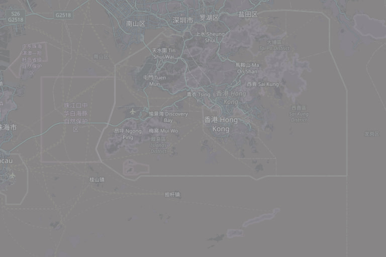
Our Hong Kong Parking Map combines hourly parking structures and roadside meters in a single pane. Tap any marker to view parking tariffs and get step-by-step turn-by-turn driving directions to the entrance.
Browse facilities
Every facility has its own page with address, hours, the nearest MTR station and what is within 500 m. A selection, one per district; the map above lists everything near you.
Car park — one from each district
- Sun Yat Sen Memorial Park 中西區
- Airside 九龍城區
- T Town North Car Park 元朗區
- Landmark North Car Park 北區
- Cyberport Carpark 1 & 2 南區
- GO PARK 2 carpark 大埔區
- Vcity Commerical Carpark 屯門區
- Harbour North Phase 2 & 3 B2/F Zone A 東區
- A1 Parking (Sha Tin) 沙田區
- MOKO Car Park 油尖旺區
- V Walk Carpark 深水埗區
- LEE GARDEN ONE CAR PARK 灣仔區
- Yan Chai Hospital Visitor Carpark 荃灣區
- Wo Yi Hop Road Sports Ground 葵青區
- Popcorn I Carpark 西貢區
- apm Car Park 觀塘區
- Fu Tung Car Park A 離島區
- AIRSIDE 黃大仙區
Frequently Asked Questions (FAQ)
How often are the vacant carpark spaces updated?
Vacant parking space counts are fetched dynamically from the Transport Department of HK and are refreshed every few minutes to ensure reliability.
Data source: Transport Department (real-time carpark vacancy & meter locations) · Data refreshed 2026-09-14 · synced weekly from official open data · car-park vacancy is live
 © OpenStreetMap contributors